
Remote Work and Learning Facilitated by Cloud-Based Technologies
The hydrospatial industry is undergoing significant changes, with a shift towards remote work and operations being spearheaded by innovative solutions like CARIS Cloud Technologies. This transformation is driven by various factors, including the pandemic, advancements in technology, and the need for a more efficient, cost-effective, and secure work environment.
Embracing the Cloud for Increased Accessibility
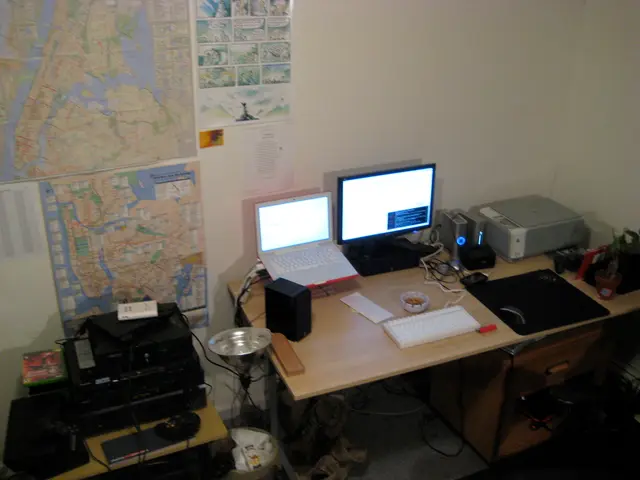
By hosting software and data in the cloud, CARIS offers hydrographers, marine surveyors, and GIS professionals the ability to access powerful processing tools from anywhere with an internet connection. This eliminates the dependency on physical office locations or specialized hardware setups, making work more flexible and accessible.
Centralized Data Management for Enhanced Collaboration
Cloud platforms provide a single source of truth for hydrographic and spatial data. Multiple team members can upload, access, and work on datasets in real time, reducing duplication and improving collaboration without the need to exchange large files manually.
Streamlined Workflows through Collaboration and Integration
CARIS Cloud Technologies typically include functionalities for project sharing, version control, and collaborative editing. These features enable geographically dispersed teams to coordinate their work efficiently and keep workflows synchronized.
Scalability and Performance for Complex Data Sets
Cloud processing enables the use of scalable computing resources that can handle large and complex hydrographic datasets, such as multibeam sonar data, bathymetry, or LiDAR, without requiring individual users to have high-powered local machines.
Improved Security and Backup for Valuable Survey Data
Cloud solutions often come with secure data storage, automated backups, and disaster recovery options that protect valuable survey data, ensuring business continuity even when working remotely.
Faster Deployment and Updates for Seamless User Experience
New features, software updates, and patches can be deployed in the cloud instantly, minimizing downtime and ensuring users always have access to the latest tools without manual installation.
Cost Efficiency for Reduced Operational Costs
Remote work setups reduce the need for physical office space, local IT infrastructure, and maintenance, potentially lowering operational costs while maintaining productivity.
The Future of Remote Work in the Hydrospatial Industry
In addition to these benefits, the increased demand for support will also be met with advancements in automated monitoring, problem detection, and agile diagnosis. The infrastructure needed to support a globally distributed data processing team is being implemented through cloud-based data storage and virtual processing desktops.
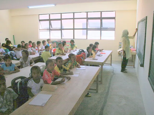
Moreover, academic institutions like the Ocean Mapping Group at UNB are examining ways to optimize online training course development using the CCT platform and overcome data handling challenges. Projects like the OSC and the resulting CCT platform will advance remote, synchronous, and asynchronous educational programs to accelerate workforce development.
Even institutions like CIDCO, an IHO-certified training center, will benefit from cloud-based hydrographic data processing technologies, enabling capacity-building techniques in the developing world. A digital classroom blueprint will be developed to ensure the success of users in a variety of learning environments.
In summary, CARIS Cloud Technologies and similar cloud-based hydrographic software provide remote teams with flexible, collaborative, and secure environments that streamline hydrographic data processing and production, accelerating the hydrospatial industry's adaptation to modern remote work paradigms. This transition not only benefits the industry but also contributes to the advancement of education and the blue economy.
- CARIS Cloud Technologies enable marine surveyors, hydrographers, and GIS professionals to access powerful processing tools remotely through online-education, making learning about the hydrospatial industry more accessible.
- Ocean mapping and marine spatial data management can be enhanced through cloud platforms, as they provide a centralized location for members of a team to collaborate on datasets in real time, improving education-and-self-development opportunities.
- The hydrospatial industry is evolving with cloud-based technologies, offering scalability and security for complex data sets, streamlined workflows through collaboration and integration, and cost efficiency for reduced operational costs, all of which contribute to the advancement of the blue economy, education, and remote work practices.
