Eastern Kentucky encounters persistent flooding issues, and Meredith Swallom, a former student, has shifted her focus to addressing this problem as a scientist.
Meredith Swallom, a geologist with the Kentucky Geological Survey (KGS), is delving into the intricate web of factors contributing to flooding in Eastern Kentucky. Swallom, who grew up in a military family and considers Kentucky as the only place that ever felt like home, is shedding light on the roles different factors play in flooding and bringing us closer to identifying ways to prepare for or mitigate future disasters.
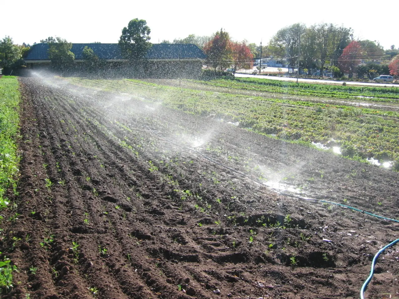
Swallom's research model, which divides Letcher County into 5-meter pixels, each assigned a roughness value and infiltration rate based on land cover, is helping us understand the complex problem that involves not only weather, but also land use, soil, and terrain. The rainfall in Letcher County in July 2022, as much as 10 inches in a 24-hour period, was preceded by a smaller storm earlier that week, overwhelming the landscape's natural ability to absorb water.
Areas with low infiltration and low roughness, like developed sites and roads, generate more runoff in Swallom's model. Conversely, high infiltration rates can help reduce flooding by soaking up rain, while compacted or bare surfaces have much lower infiltration and contribute to water runoff. Swallom assigned lower infiltration values across the board to match the observed flood behavior, even for areas with soil types that typically allow more water absorption.
Urban areas, bare slopes, bare floodplains, mountaintop removal mines, shrublands, and forests each have unique roughness values and infiltration rates in Swallom's model. Channel narrowing, the gradual reduction of river capacity over time from agricultural or building development, is a major driver of flood height in Swallom's research. Narrowed channels surrounded by rough, vegetated floodplain reduce the system's ability to move water downstream efficiently, causing water levels to rise.
Swallom's research focuses on flood resilience, particularly in Eastern Kentucky where flooding is an urgent issue due to steep terrain, changing land use, intense storms, and other factors. Her work centers on how soil infiltration rates and surface roughness impact water's movement across the landscape during extreme rainfall events.
Swallom's path into geology was influenced by a lifelong love of science and support from the University of Kentucky (UK). After earning her master's degree, she was recruited by UK alum Tom Spalding and worked at Pioneer Natural Resources in Irving, Texas, for two years. She returned to UK for her doctorate and joined KGS full-time in 2022.
Swallom's research article can be accessed in Geomorphology. The current status of her research on flood resolution in Letcher County, Kentucky, is not publicly available. However, her work is undoubtedly a significant step towards understanding and addressing the complex issue of flooding in Eastern Kentucky.
Read also:
- Exposure to Asbestos in the 9/11 Aftermath: 4 Methods to Validate Your Exposure
- Health enhancement for millions of Apple Watch users now unmissable, as stated by Apple
- Promoting Economical Transportation Options for the Elderly Community
- Intense Attention Deficit Hyperactivity Disorder: Signs, Drugs, and Remedies


